
West Highland Way: Day 6
Wild camp to Kinlochleven.
Having wild camped the night before I hadn’t recharged my phone or filled up the battery bank I had brought with me.
But I wasn’t too bothered.
I didn’t need my phone for directions, nor did I need it to talk to anyone, since I’d now got a hiking buddy to talk to.
The only thing I might have wanted it for is photos.
I’ll tell you now, day 6 involves taking a photo or two.
First we covered the part of yesterday’s route that we hadn’t yet finished and then we stopped for breakfast at Glencoe Mountain Resort. I’ll be honest and say this wasn’t the best breakfast of the week, but it was necessary, so we viewed it more as fuel than food.
Here we bumped into Bubba Ribeye 👋 who was full of stories and advice. We ignored his tip to get a shower there and then because we’d already been walking and were aiming for a camp site with showers, so we would wait.
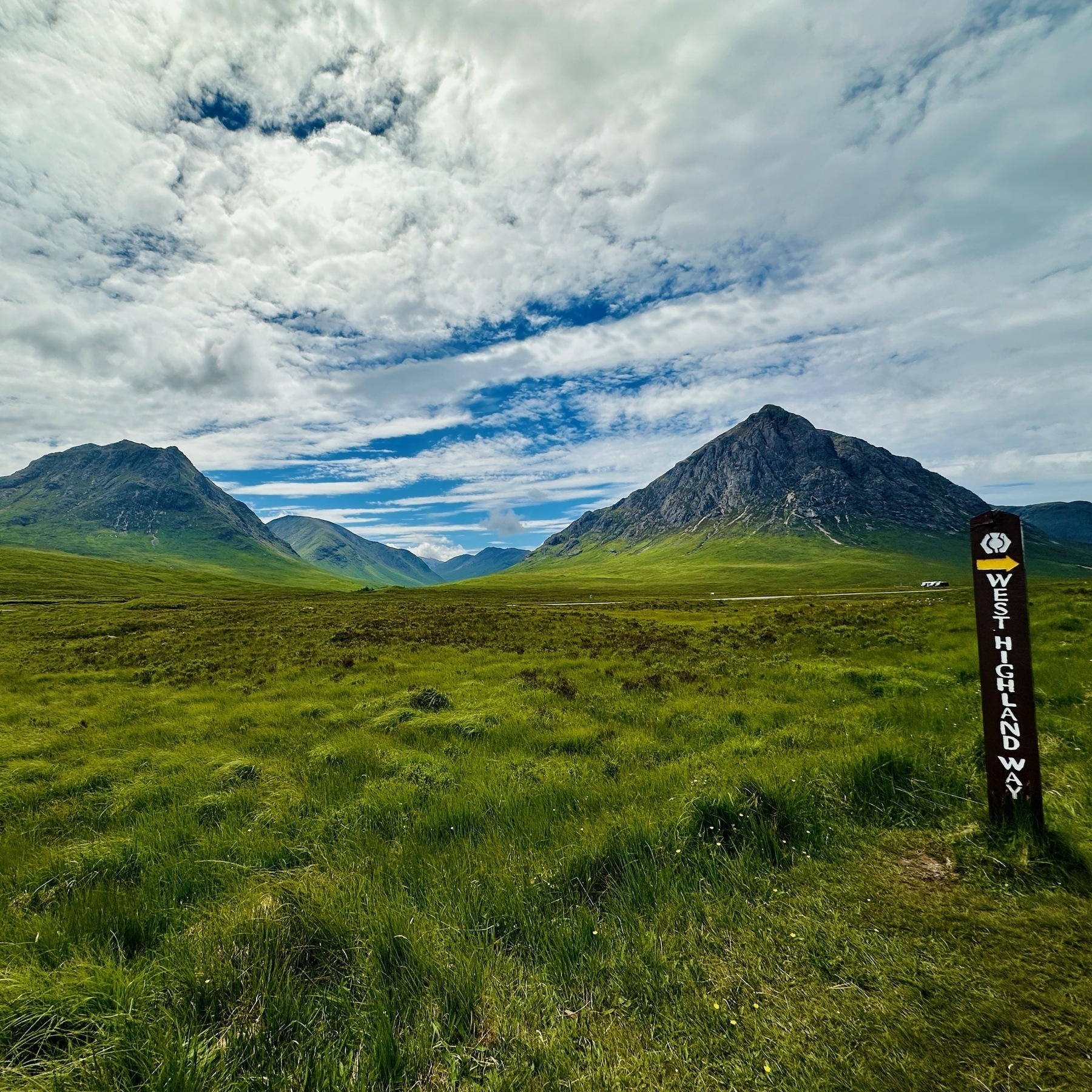
After the mountain resort came Kingshouse where we bumped into Tim again, someone I had first met on my second day. He told us the reason the hotel had put up a “no camping” sign on the left side of the bridge was because a few years ago a Scottish stag-do had camped there and the hotel guests woke up to an unpleasant sight of them all naked, urinating into the river.
Moving on from that discussion we continued along the path until it was time for a photo.
We didn’t decide that, the scenery did.
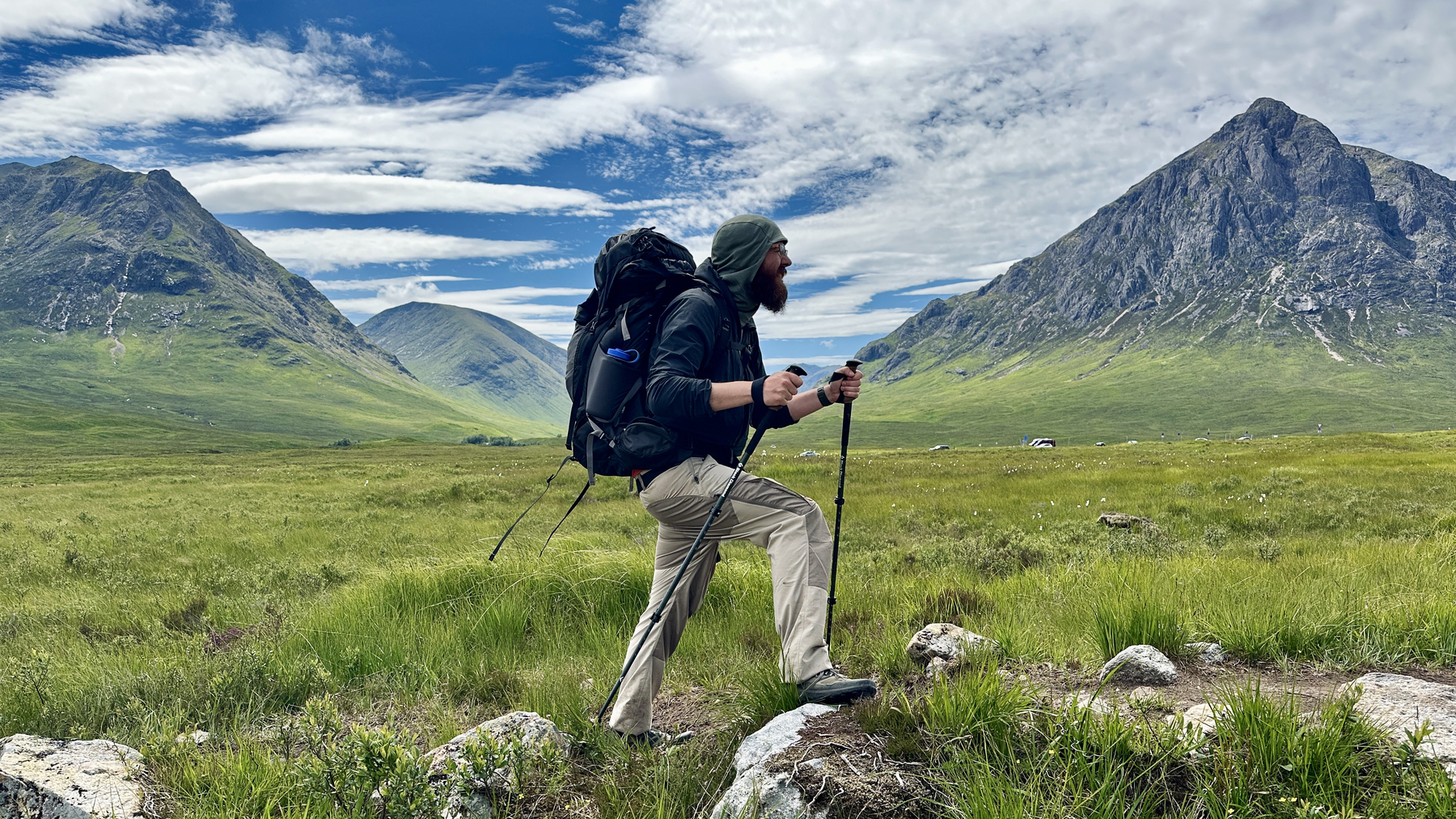
I’d like to thank my photographer for taking this of me. It’s probably the greatest hiking photo of me I could have asked for. It’s probably the greatest photo of me full stop.
It was a bit difficult working out where the poles should be to make this extremely posed photo look organic, but I nailed it.
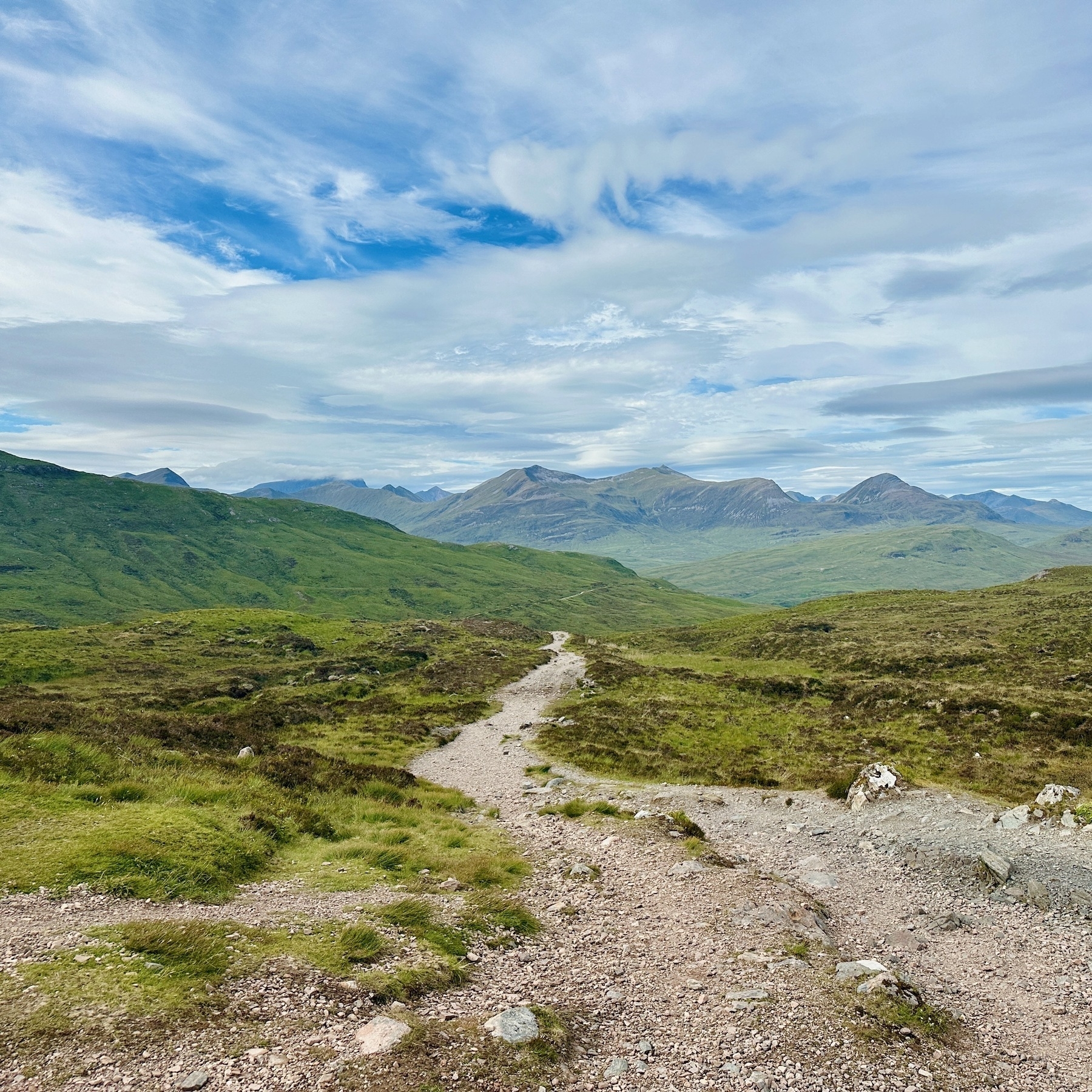
We rested at the foot of the Devil’s staircase before climbing the two hundred something metres to the top, where the views opened up and we could see Ben Nevis, the tallest mountain in Scotland and the UK, off in the distance.
Since breakfast I had only eaten Skittles and Scottish Tablet and eventually started to crash on the descent.
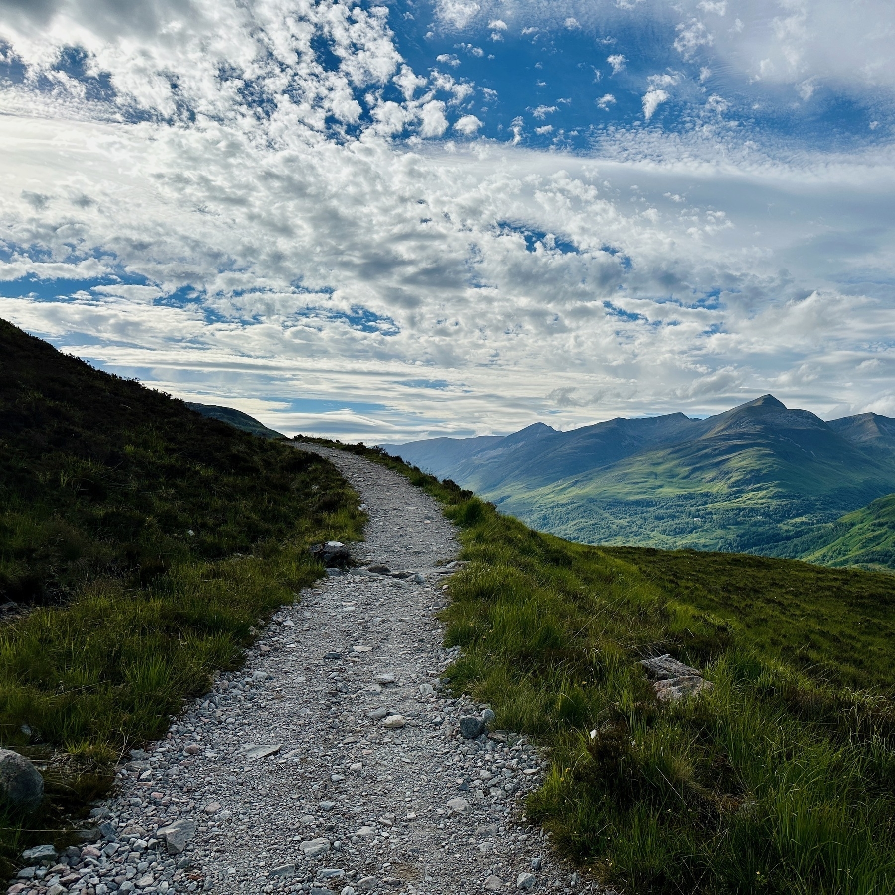
We could see our destination getting closer, so on we marched to Kinlochleven,
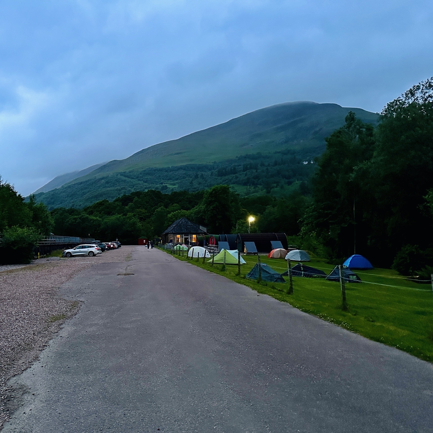
where we set up our tents at the camp site attached to the hostel.
We headed round to the local Co-op to stock up on supplies at a regular shop, instead of an overpriced a higher-priced hiking one.
Wild camp to Kinlochleven: 22km